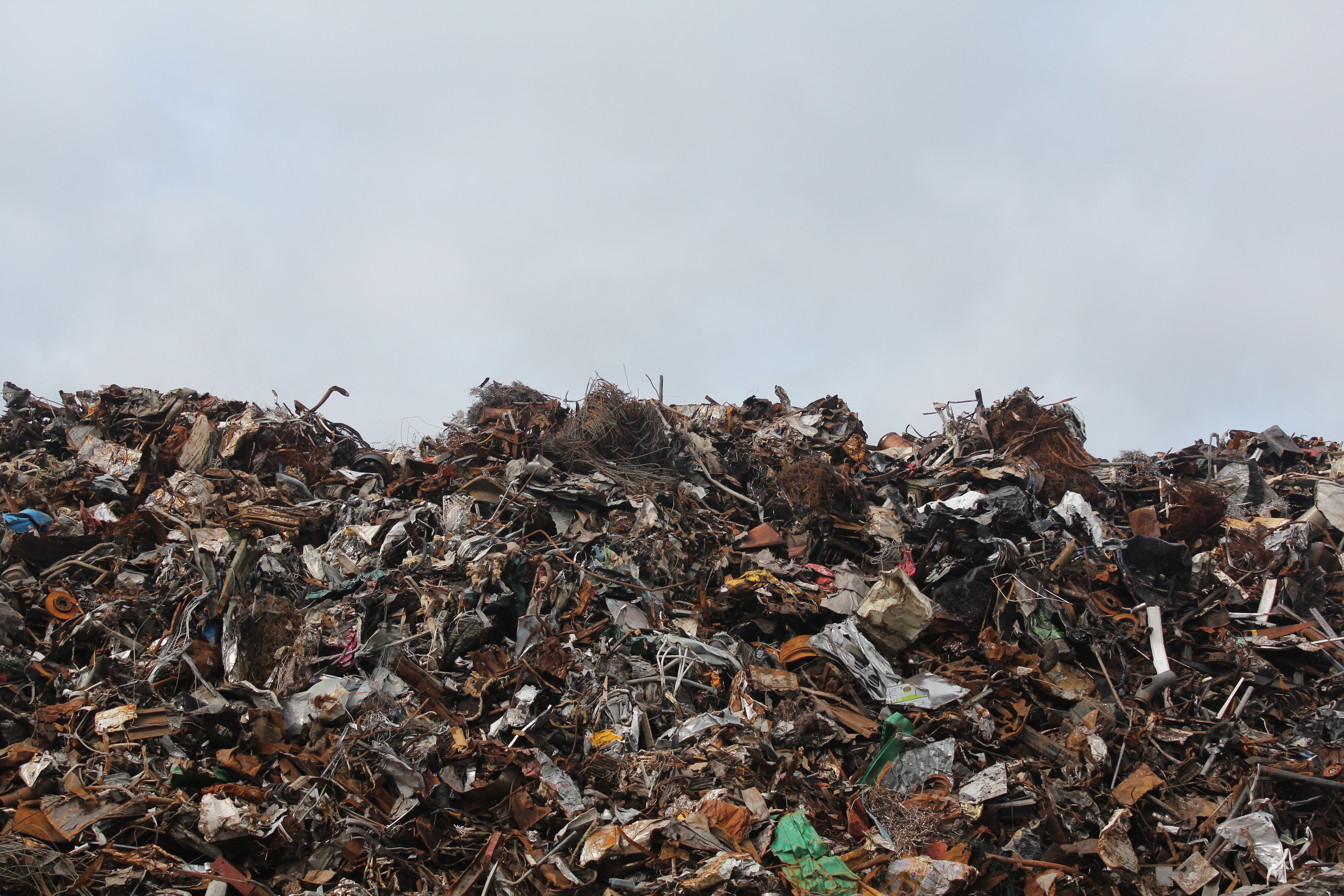
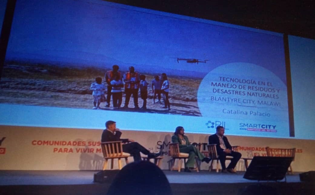
GIS Technology in waste and disaster management

Municipality
Category / Sub-Category / Topic
Environment, Environmental management
Type of investment needed
Grant
Associated SDGs
GIS Technology in waste and disaster management
Municipality
Category / Sub-Category / Topic
Environment, Environmental management
Type of investment needed
Grant
Associated SDGs
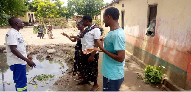
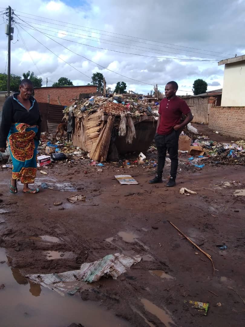
The challenge
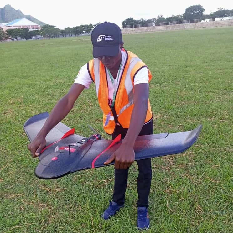
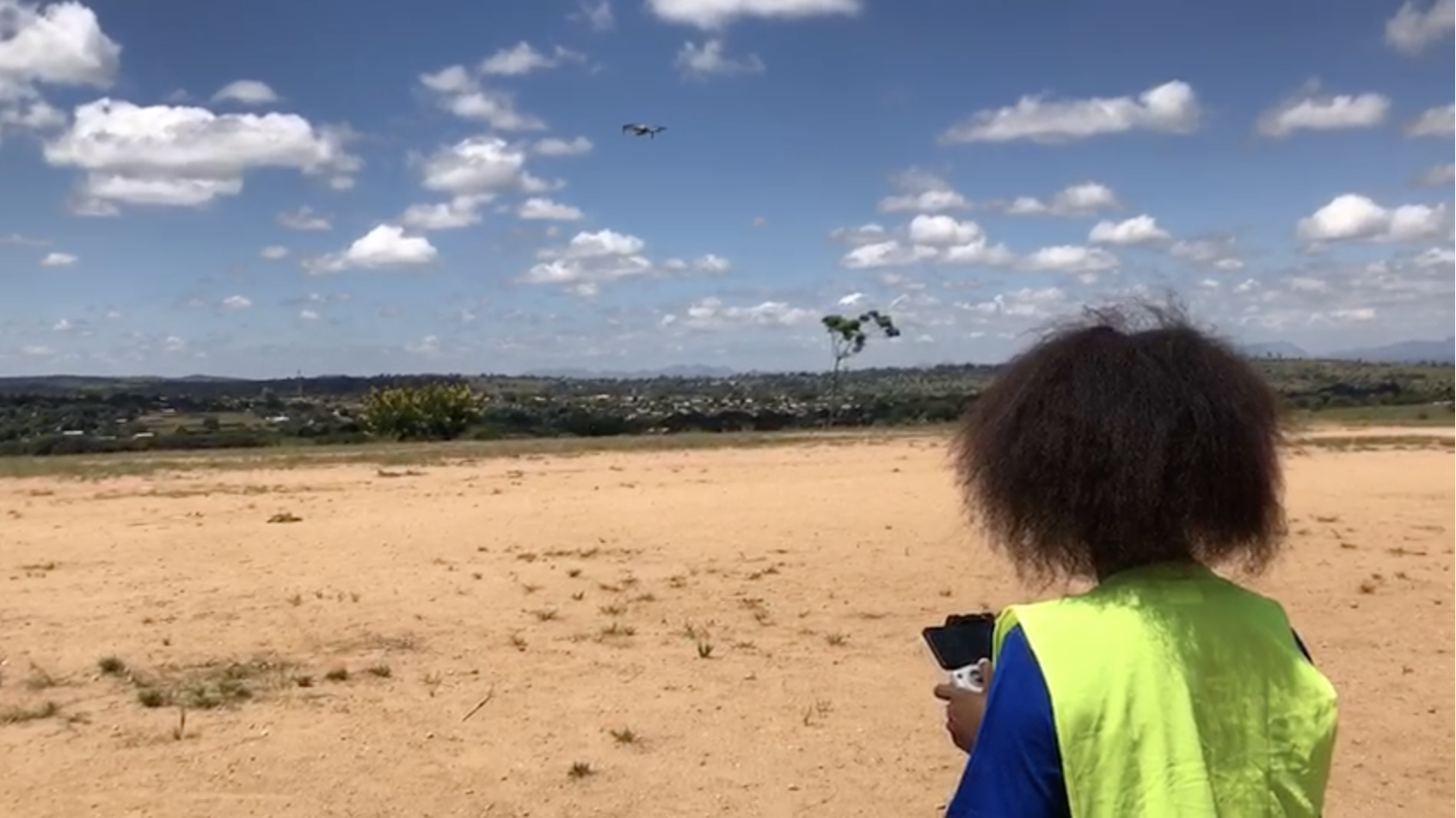
The project
Know more...
Investment
(*): In kind/pro bonus
(**): Financing
Funds
Needed
Covered
Solicited
Investment
(*): In kind/pro bonus
(**): Financing
(*) (**)
u$s 600.00
u$s 0.00
u$s 600.00
(*) (**)
u$s 150.00
u$s 0.00
u$s 150.00
(*) (**)
u$s 2400.00
u$s 0.00
u$s 2400.00
(*) (**)
u$s 200.00
u$s 800.00
u$s -600.00
(*) (**)
u$s 873.00
u$s 0.00
u$s 873.00
(*) (**)
u$s 800.00
u$s 0.00
u$s 800.00
(*) (**)
u$s 200.00
u$s 0.00
u$s 200.00
(*) (**)
u$s 200.00
u$s 0.00
u$s 200.00
(*) (**)
u$s 800.00
u$s 0.00
u$s 800.00
(*) (**)
u$s 975.00
u$s 0.00
u$s 975.00
(*) (**)
u$s 2400.00
u$s 800.00
u$s 1600.00
(*) (**)
u$s 600.00
u$s 0.00
u$s 600.00
(*) (**)
u$s 600.00
u$s 0.00
u$s 600.00
(*) (**)
u$s 1000.00
u$s 0.00
u$s 1000.00
(*) (**)
u$s 800.00
u$s 0.00
u$s 800.00
(*) (**)
u$s 600.00
u$s 0.00
u$s 600.00
(*) (**)
u$s 500.00
u$s 0.00
u$s 500.00
(*) (**)
u$s 500.00
u$s 0.00
u$s 500.00
(*) (**)
u$s 350.00
u$s 0.00
u$s 350.00
(*) (**)
u$s 300.00
u$s 0.00
u$s 300.00
(*) (**)
u$s 300.00
u$s 0.00
u$s 300.00
(*) (**)
u$s 800.00
u$s 0.00
u$s 800.00
(*) (**)
u$s 1712.50
u$s 0.00
u$s 1712.50
(*) (**)
u$s 700.00
u$s 0.00
u$s 700.00
Funds
Needed
Covered
Solicited
Safety boots (*) (**)
u$s 600.00
u$s 0.00
u$s 600.00
High visibility vest (*) (**)
u$s 150.00
u$s 0.00
u$s 150.00
Laptops (*) (**)
u$s 2400.00
u$s 0.00
u$s 2400.00
GPS devices (*) (**)
u$s 200.00
u$s 800.00
u$s -600.00
Software Licence: Pix4DMapper (*) (**)
u$s 873.00
u$s 0.00
u$s 873.00
Software Licence: ArcGIS desktop (*) (**)
u$s 800.00
u$s 0.00
u$s 800.00
Software Licence: ENVI (*) (**)
u$s 200.00
u$s 0.00
u$s 200.00
Stationery (*) (**)
u$s 200.00
u$s 0.00
u$s 200.00
Training materials (*) (**)
u$s 800.00
u$s 0.00
u$s 800.00
Funds
Needed
Covered
Solicited
Drone renting (*) (**)
u$s 975.00
u$s 0.00
u$s 975.00
Training local government representatives (*) (**)
u$s 2400.00
u$s 800.00
u$s 1600.00
Internet (*) (**)
u$s 600.00
u$s 0.00
u$s 600.00
Data collection (*) (**)
u$s 600.00
u$s 0.00
u$s 600.00
Training delivery (*) (**)
u$s 1000.00
u$s 0.00
u$s 1000.00
Training the community (*) (**)
u$s 800.00
u$s 0.00
u$s 800.00
Project evaluation (*) (**)
u$s 600.00
u$s 0.00
u$s 600.00
Funds
Needed
Covered
Solicited
Drone expert (*) (**)
u$s 500.00
u$s 0.00
u$s 500.00
Mapping risk areas: Expert for analyzing the results. (*) (**)
u$s 500.00
u$s 0.00
u$s 500.00
Impact assessment survey (*) (**)
u$s 350.00
u$s 0.00
u$s 350.00
Data interpretation (*) (**)
u$s 300.00
u$s 0.00
u$s 300.00
Map evaluation & Mitigation measures (*) (**)
u$s 300.00
u$s 0.00
u$s 300.00
Additional experts (*) (**)
u$s 800.00
u$s 0.00
u$s 800.00
Funds
Needed
Covered
Solicited
Transportation (*) (**)
u$s 1712.50
u$s 0.00
u$s 1712.50
Airing Documentary: Newspaper articles & broadcasting sations for Public awareness & concern (*) (**)
u$s 700.00
u$s 0.00
u$s 700.00